Its publication comes less than a fortnight after India announced building a road to Lipulekh pass
Nepal has officially unveiled a new political map of the country showing the regions of Kalapani, Limpiyadhura and Lipulekh of Uttarakhand, as part of its sovereign territory.
Launching the map at a press conference, Minister of Land Management Padma Kumari Aryal said the government of Prime Minister K P Sharma Oli was committed to protecting territorial sovereignty and integrity of the country.
“It is a historic moment of happiness for the people of Nepal. The government will not allow erosion of self-esteem of our people. Nepal will publish the new map and make it part of the school textbooks,” said Ms Aryal.
The area of Susta near Gorakhpur in Uttar Pradesh also appears to be part of Nepal in the new map. Kathmandu claims that India has encroached upon this area claiming large tracts of land and wants Delhi to evacuate the population from the region.
China helped Nepal grow a sixth finger jutting into India. Or should we say a heel spur. It is going to be painful.
— Yusuf Unjhawala 🇮🇳 (@YusufDFI) May 20, 2020
Old and new map 👇 pic.twitter.com/3SBqmmhEQp
Road issue
The publication of the new map came less than a fortnight after India announced building a road to the Lipulekh pass, which will cut travelling time to Tibet’s Manasarovar pilgrimage centre. Nepal had reacted angrily, asserting that the area belongs to Kathmandu and Mr. Oli said his government was willing to give a road to Tibet on lease to India without surrendering the region.
“We look forward to begin diplomatic negotiations with friendly nation of India regarding the territorial claims”, Ms Aryal said on Wednesday.
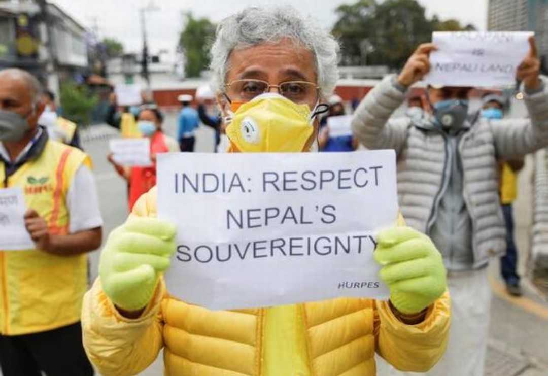
Following the Indian action, there were reports of anti-India protests in parts of Nepal and Mr. Oli targeted India for alleged regional domination. “India’s Ashokan pillar has the lions with “Truth shall prevail” inscribed in the bottom. They actually mean “Lion [might] shall prevail. But Nepal is certain that truth shall prevail”, he said before Parliament on Tuesday. He also alleged that India was responsible for the spread of Coronavirus into the Himalayan country.
India’s map
The current phase of tension can be traced to the announcement of a new political map by India last year, which showed the newly created Union Territories of Jammu and Kashmir and Ladakh. It also showed the region of Kalapani as part of the Indian territory.
Nepal maintains that not just the Kalapani region, but the Limpiyadhura and Lipulekh are parts of its sovereign territory as demarcated in the 1816 Treaty of Sugauli. It says Lipulekh was deleted from the country’s map by its kings to get favours from India in exchange.
Analysts in Kathmandu have said the new map in fact is a document that was in circulation in the country till the 1950s. They claim that the territory of Kalapani was given to India by King Mahendra after the 1962 India-China war.
Nepal had also expressed displeasure over the 2015 agreement between India and China for using the Lipulekh pass for trade without consulting it.
China, Mr. Oli claimed before Parliament this week, however, had conveyed to Kathmandu that the pact with India was about trade and pilgrimage and did not grant Chinese seal of approval to the Indian territory.
In a speech delivered before Parliament, President Bidhya Devi Bhandari had declared the new map. The decision was cleared at a Cabinet meeting on Tuesday and unveiled on Wednesday.
With inputs from The Hindu